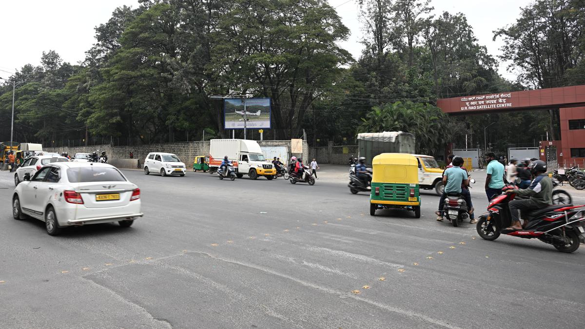
The project will also revive the Wind Tunnel Road expansion plans, intended to decongest HAL Airport Road.
| Photo Credit: ALLEN EGENUSE J.
Beyond the planned 228-km road network under the Sanchara Yukta project in the Greater Bengaluru Authority (GBA) limits, the B-SMILE has identified the possibility of expanding the network by an additional 90 km, which would fall under the jurisdiction of the Bangalore Development Authority (BDA).
Under the project, the government plans to build roads along the buffer zones of storm-water drains (SWDs) and lakes in the city to address growing congestion by expanding the road network.
The B-SMILE has planned seven road networks under the project including between Koramangala and Sarjapur. The project will also revive the Wind Tunnel Road expansion plans, intended to decongest HAL Airport Road. It was shelved in 2022.
Sanchara Yukta
The project will cover a large road network in the East City Corporation, with a total length of 96.132 km. Notably, east Bengaluru currently has low road density, between 8 km and 10 km per sq. km, depending on the area. It also experiences high congestion due to a large floating population and a high concentration of workspaces.
The project will also build 59.94 km of roads in the North City Corporation, 36.91 km in the West, 20.8 km in the South, and 14.135 km in the Central zone. In total, 227.917 km of roads will be built in GBA limits at a cost of ₹199.4 crore. Works have already begun on ground to construct a road from Inner Ring Road in Koramangala to Sarjapur Road.
Beyond this, there is a prospect of developing an additional 90.179 km road network in the BDA area. According to a well-placed source in the B-SMILE, this possibility has been identified in the areas where there is rapid development and population growth. These regions could also be brought in the GBA limits in the future.
However, the project has attracted considerable backlash. The Hindu had earlier reported on the importance of buffer zones and their critical role in preventing flooding. Experts have warned that reducing buffer zones would harm micro-ecosystems and inevitably affect the health of lakes.
In addition, a GBA document on the project highlights that the recent notification reducing SWD buffer zones has compelled the implementing agency to engage more stakeholders. As a result, the B-SMILE will have to spend more on land acquisition.
Revival of Wind Tunnel Road widening
Under the project, the B-SMILE will also take up the widening of the Wind Tunnel Road, though with a revised plan that involves realigning the road by altering its course.
The project is expected to significantly reduce traffic on HAL Airport Road and provide an alternative route to the Outer Ring Road (ORR) for residents of central and southeastern Bengaluru.
B.S. Prahallad, Technical Director, B-SMILE, told The Hindu that since HAL has expansion plans, the B-SMILE has opted to realign the road. “This will reduce the distance and also make the road wider,” he said.
“The project will be a game changer for ORR and Bellandur commuters, as it becomes a viable alternative. A major advantage is that it will decongest HAL Airport Road, which is gradually seeing an increase in vehicular traffic,” he added.
According to GBA sources, the BBMP required HAL property when it planned Suranjandas Underpass on HAL Airport Road. The HAL agreed on the condition that the BBMP would widen the Wind Tunnel Road in return. However, due to land-related issues, the widening project was shelved, though the Suranjandas Underpass was built.
Published – December 27, 2025 09:05 pm IST