Travel disruptions were ongoing Saturday following a Christmas-week snowstorm in the Northeast, as a new storm system sweeps across the country.
More than 4,000 flights were delayed and over 800 were canceled into or out of the United States on Saturday morning, according to flight tracking website FlightAware.
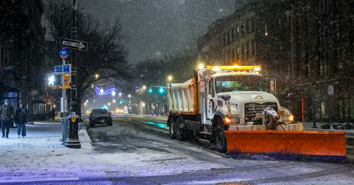
While precipitation has come to an end, snow- and ice-covered roads have created hazardous travel conditions throughout the Northeast.
The heaviest snowfall was reported in Hartwick, New York, where 11.5 inches fell.
In New York City, Central Park recorded 4.3 inches of snow, marking the park’s first snowfall of more than 4 inches since 2022, according to the National Weather Service.

A video taken just outside of Boston on Friday night showed heavy snow falling on a road already coated in white.
Thick fog continues to blanket the central part of the country, with alerts in effect from the Dakotas to the Gulf.
Travel delays are expected in several cities, including Minneapolis; Des Moines, Iowa; St. Louis; Memphis and Nashville, Tennessee; and New Orleans.
Foggy conditions are forecast to clear by midday Saturday, with fog lingering along the Gulf through the evening.
A new storm system is hitting the U.S.
A new storm system arrived on Saturday morning, bringing scattered snow showers throughout the Rockies.
Winter alerts are in effect throughout the mountainous regions from Idaho to New Mexico. Colorado is forecast to receive over 1 foot of snow.
This low-pressure system will pass through the Plains on Saturday night, bringing snow showers to parts of Nebraska and the Dakotas. Rain is expected in parts of Kansas, Missouri, Iowa and Illinois into Sunday morning.
By midday Sunday, rain will move into parts of the lower Great Lakes and Ohio Valley, while heavy snow will hit parts of Iowa, Minnesota, Wisconsin and the Upper Peninsula of Michigan.
Rain will extend into the Northeast by Sunday evening, lingering through the day on Monday. A flood watch has been issued for parts of western New York, including Buffalo.
New England will see freezing rain that could create icy roads from northern New York through Maine.
Wrap-around snow will continue in the western Great Lakes through Monday, with a dusting of up to 1 inch possible in Chicago and Milwaukee.
Lake-effect snow bands downwind of Lake Ontario and Erie will linger into Tuesday as the storm system moves offshore.
Minnesota, Wisconsin and the Upper Peninsula of Michigan are at risk of the highest snowfall, with 5 to 14 inches possible.
Wind gusts are forecast to reach 35 mph, creating blizzard conditions at times from Sunday morning through midday Monday.