Bitterly cold weather is expected to grip the UK over the weekend with as much as 10cm of snow already in some areas.
A number of yellow weather warnings for snow and ice are in place, with the latest warnings reaching into Monday, while amber snow warnings for northern Scotland are in place until midday on Saturday.
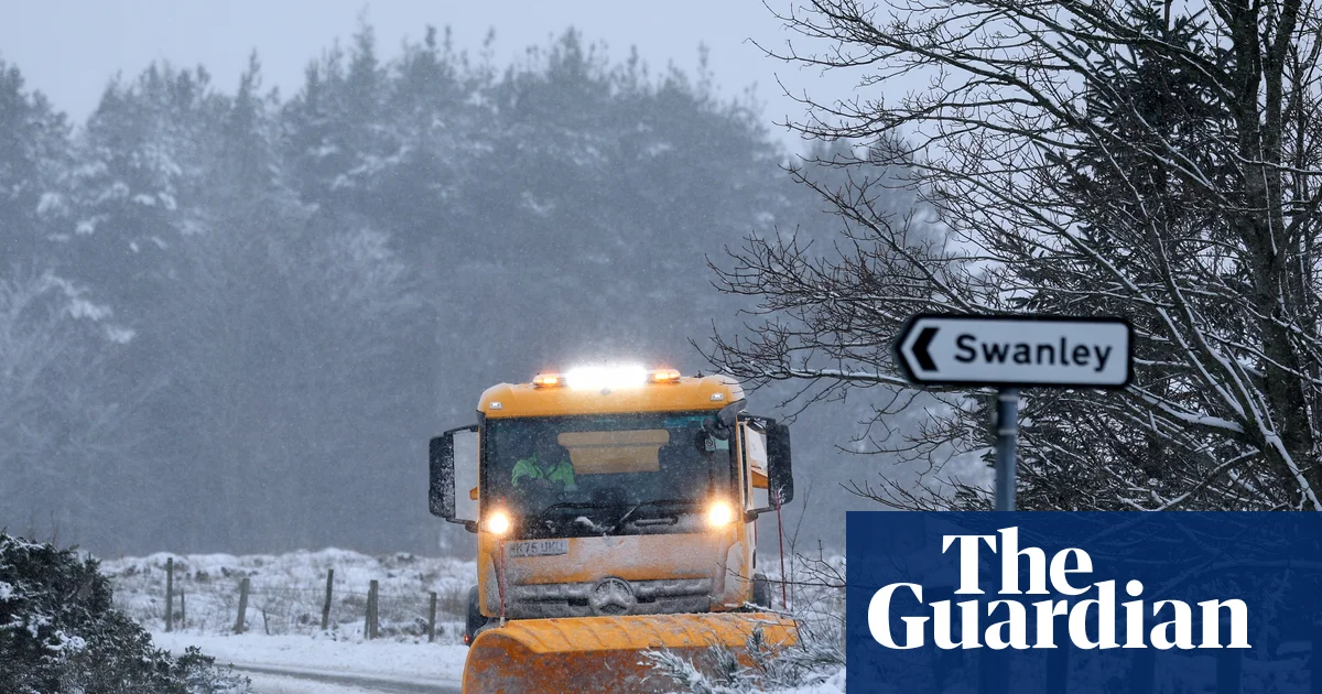
Travel disruption is expected, with snow and ice forecast across the UK.
As wintry weather moves south-eastwards over parts of England and Wales, a yellow warning for snow and ice is in place throughout Friday morning until midday for an area covering London, Greater Manchester and Cardiff, while a yellow warning for ice in the south-west of England was issued by the Met Office on Friday morning that runs until 10am.
About 2cm of snow could fall in some areas, with up to 5cm on higher ground.
Heavy snowfall caused difficulties for motorists in the Highlands and north-east Scotland on New Year’s Day, with warnings of blizzard-like conditions coming on Friday and into the weekend.
The amber weather warnings for snow were in place until midday on Saturday, covering areas within a wider yellow weather warning.
The Met Office said the weather conditions in the amber areas in Scotland could lead to power cuts and vehicles becoming stranded.
At Loch Glascarnoch in the Scottish Highlands there was more than 8cm of lying snow on Friday morning, while Aboyne in Aberdeenshire had around 9cm.
Forecasters have warned there could be up to 20cm of snow on low ground and up to 40cm on higher ground.
Parts of England were also covered in a blanket of snow on Friday as 2026 saw a wintry start.
Yellow warnings are now in place for parts of the UK, including much of Northern Ireland, until midday on Monday.
The Met Office said of the amber warning: “Heavy snow showers will become more frequent and may merge to give longer spells of snow at times.
“The area and period covered by this warning are when the heaviest and most disruptive snow is thought most likely during the current cold spell, with existing yellow warnings covering a wider area and a longer period.”
It said wind would also cause some snowdrift and temporary blizzard conditions.
The yellow warning for snow and ice issued across large parts of England and Wales included Chester and Greater Manchester down to London and Kent.
Separate yellow warnings were in place for Northern Ireland between midnight and 10am on Friday.
People have been advised to prepare for longer journey times by road and rail. The AA estimated the number of car journeys was likely to reach 20.7m across the UK on 2 January after a quieter day on the roads on New Year’s Day when 18m trips had been predicted.
A Met Office spokesperson said: “We expect this cold spell to persist into the weekend and on into next week, with further warnings possible as temperatures remain well below average and snow showers continue in places.”
The UK Health Security Agency has issued warnings across England until 10am on 6 January. The UKHSA said it meant the weather was likely to cause significant impacts across health and social care services, including a “rise in deaths” among those with health conditions or aged 65 or over.