These jet streams , steering storm systems across continents.
Stronger (faster) jet streams can intensify storm systems, whereas weaker (slower) jet streams can stall storm systems, leading to prolonged rainfall and flooding.
2025’s intense summer of flooding
Most summers, the polar jet stream into Canada and weakens considerably, leaving the continental US with calmer weather. When rainstorms pop up, they’re typically caused by of the land — picture afternoon pop-up thunderstorms.
During the summer of 2025, however, the polar jet stream shifted unusually far south and steered larger storm systems into the midlatitudes of the US At the same time, the jet stream weakened, with two critical consequences.
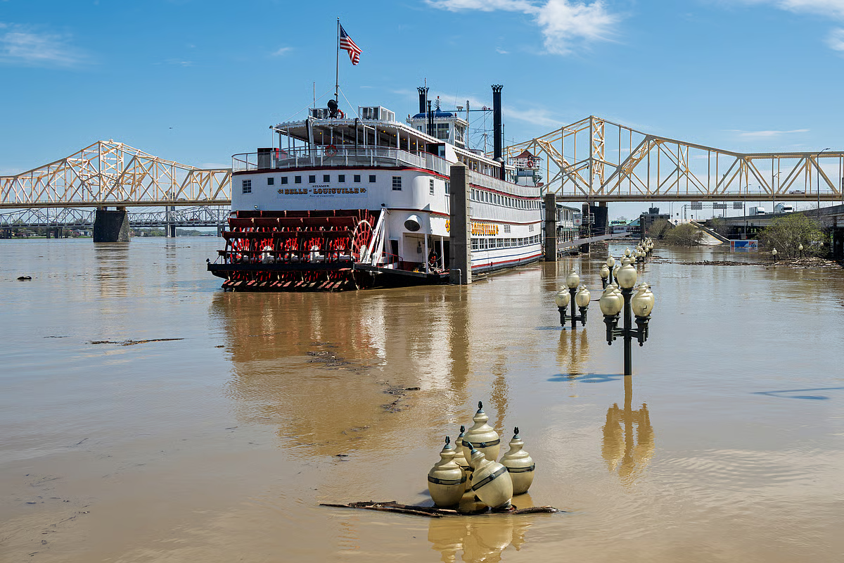
First, instead of moving storms quickly eastward, the sluggish jet stream stalled storm systems in place, causing prolonged downpours and flash flooding.
Second, a weak jet stream tends to meander more dramatically. Its broad north-south swings in summer 2025 funneled humid air from the Gulf of Mexico deep into the interior, supplying storm systems with abundant moisture and intensifying rainfall.
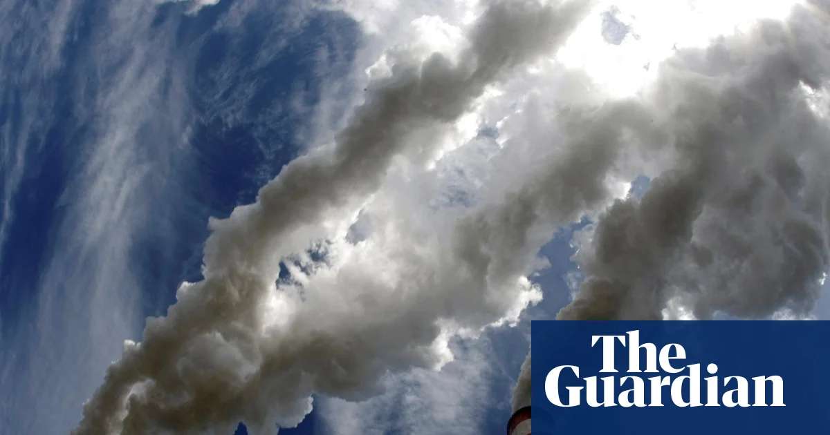
This moisture surge was amplified by unusually warm conditions over the Atlantic and Gulf regions. A warmer ocean evaporates more water, and warmer air holds a greater amount of moisture. As a result, extraordinary levels of atmospheric moisture were directed into storm systems, fueling and heavier precipitation.
Finally, the wavy jet stream became locked in place by persistent high-pressure systems, anchoring storm tracks over the same regions. This led to repeated episodes of heavy rainfall and catastrophic flooding across much of the continental US The same behavior can leave other regions facing days .
The jet stream buffered US in hurricane season
The jet stream also played a role in the 2025 hurricane season.
Given its west-to-east wind direction, the southward dip of the jet stream — along with a weak high pressure system over the Atlantic — helped steer all five hurricanes away from the US mainland.