
Floods, fires and an approaching cyclone are threatening different parts of the Australia on Monday as severe weather continues into the final week of 2025.
The flood situation across northern Queensland remained “dynamic”, according to Jonathan How, a forecaster at the Bureau of Meteorology, with a slow-moving monsoon trough and low-pressure system expected to deliver further falls of 50mm to 100mm across the north-west, and 50mm to 150mm along the north-east tropical coast.
That was on top of widespread intense and heavy rain on Sunday and into Monday morning, including totals of 100mm to 200mm between Innisfail and Ingham and 50mm to 100mm from the gulf coast to Cloncurry.
Some of the heaviest rain fell at South Mission Beach, a coastal town about a three-hour drive north of Townsville, which received 369mm in the 24 hours to 9am.
Flash flooding and rapid creek rises continued to be a risk on Monday, How said, including in large parts of north-western Queensland, the tropical north-east coast, and parts of the Northern Territory. They could “cause disruption to communities and travellers, as well as threaten lives, property and agriculture, including livestock and cattle”.
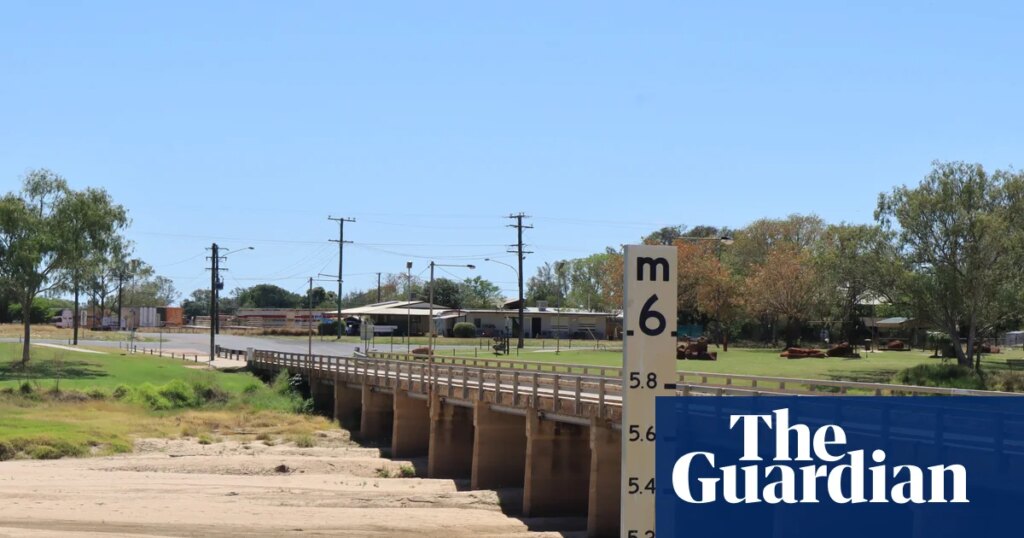
Major flood warnings were in place for the Flinders River, with moderate flood warnings for the Cloncurry and Western rivers.
State Emergency Service crews responded to 34 calls across Queensland in the past 24 hours, including in Townsville, Cairns and Cassowary. Its state disaster coordinator, Deputy Commissioner Chris Stream, told ABC radio that included food and medication drops for a couple of tourists who had been “caught off guard” in the Three Rivers area, near Cloncurry, on Sunday.
Conditions have been milder farther south, with a partly cloudy day with a maximum temperature of 29C forecast for Brisbane on Monday, while Sydney has an expected top of 25C. Similar conditions have been forecast for Melbourne (33C), Hobart (27C), Canberra (30C), Perth (31C) and Darwin (34C).
But in South Australia, extreme fire danger has led to total fire bans being put in place for the Mount Lofty Ranges and eastern Eyre Peninsula, amid a forecast 38C day for Adelaide on Monday.
The SA Country Fire Service said much of the state was facing elevated fire danger, with fires at Second Valley on the Fleurieu Peninsula, Blanchetown in the Riverland, and Meningie in the Coorong. The service urged South Australians to prepare and stay alert to the conditions.
Further west, Tropical Cyclone Hayley was tracking towards the Western Australian coastline and was expected to cross as a category-one system near the Dampier Peninsula early on New Year’s Eve.
“As the tropical cyclone makes landfall … we can expect to see heavy rain, possibly damaging winds, and we will also see a storm surge develop along the coastline,” How said.
Tropical Cyclone Hayley was located about 465km north-west of Broome on Monday morning, with 85km/h winds near the centre and gusts of up to 120km/h. It was expected to strengthen as it moved south. A watch zone covered Broome to Cockatoo Island, including Derby.
Australia’s national annual average temperature is about 1.5C higher than in 1910, according to BoM, and the climate crisis has increased the frequency and severity of extreme weather events, including heatwaves and bushfires.