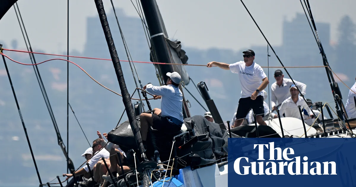
The Sydney to Hobart yacht race is forecast to be cold, wet and bumpy but without a repeat of last year’s fatal conditions, as the rest of the country experiences the full range of weather events over the Christmas period, including cyclone and bushfire danger in the west.
A race briefing from the Bureau of Meteorology (BoM) on Wednesday predicted the 129 starters in this year’s Sydney to Hobart will face strong southerly winds of up to 25 knots after leaving the Sydney Heads on Boxing Day.
“It’s going to be cold, wet and bumpy, people will get seasick,’’ said the chairman of the race committee, Lee Goddard.
Sign up: AU Breaking News email
BoM senior meteorologist Miriam Bradbury said on Thursday that winds would slacken across the New South Wales and Tasmanian coasts on Saturday and Sunday. “It will still be fresh at times but gradually we’ll see them easing back along the east coast,” she said.
The upwind conditions mean a tight finish but that the race record is unlikely to be broken this year. They are a far cry from the challenging downwind conditions that saw two lives lost in the first night of racing in storms in 2024.
Wednesday’s briefing began with a minute’s silence for the sailors who died aboard separate yachts last year, Nick Smith and Roy Quaden.
Race organisers the Cruising Yacht Club of Australia also announced a group of 15 yachts will scatter rose petals off the coast of Bondi beach in memory of the 15 lives lost during the Bondi terror attack, when they pass the site.
Line honours favourite Master Lock Comanche is co-captained by two eastern suburbs residents who were shocked when they heard news of the attack on Sydney’s Jewish community two Sundays ago.
“Everyone was very worried,” said co-captain Matt Allen. “We went down with a large group of Jewish and non-Jewish Olympians last Friday and had a service there, and then a brunch to really show our support for the victims, the entire community.”
In the west, Tropical Cyclone Grant was passing close to the Cocos Islands, 2,750km north-west of Perth, on Thursday. The category 1 cyclone was expected to bring heavy rain, storms and strong winds as it moved westwards.
Perth was forecast to reach 40C on Thursday with an extreme fire danger warning in place for much of south-west Western Australia for Christmas. A watch and act warning was in place near Boddington in the Peel region south-west of Perth on Thursday morning.
Bradbury said the heat would begin to ease on Friday. “Today is the last day of the intense heat for now for the west coast,” she said.
A flood watch was in place for much of northern Australia on Thursday. Brisbane was facing a hot, dry start, with showers and possible storms and a high of 33C. Darwin had forecast rainfall of up to 50mm with thunderstorms and showers likely.
Melbourne was forecast to have its coldest Christmas Day since 2006, with a high of 17C and showers possible in the morning and afternoon, while Hobart was also cool, with a high of 15C, and the chance of hail.


